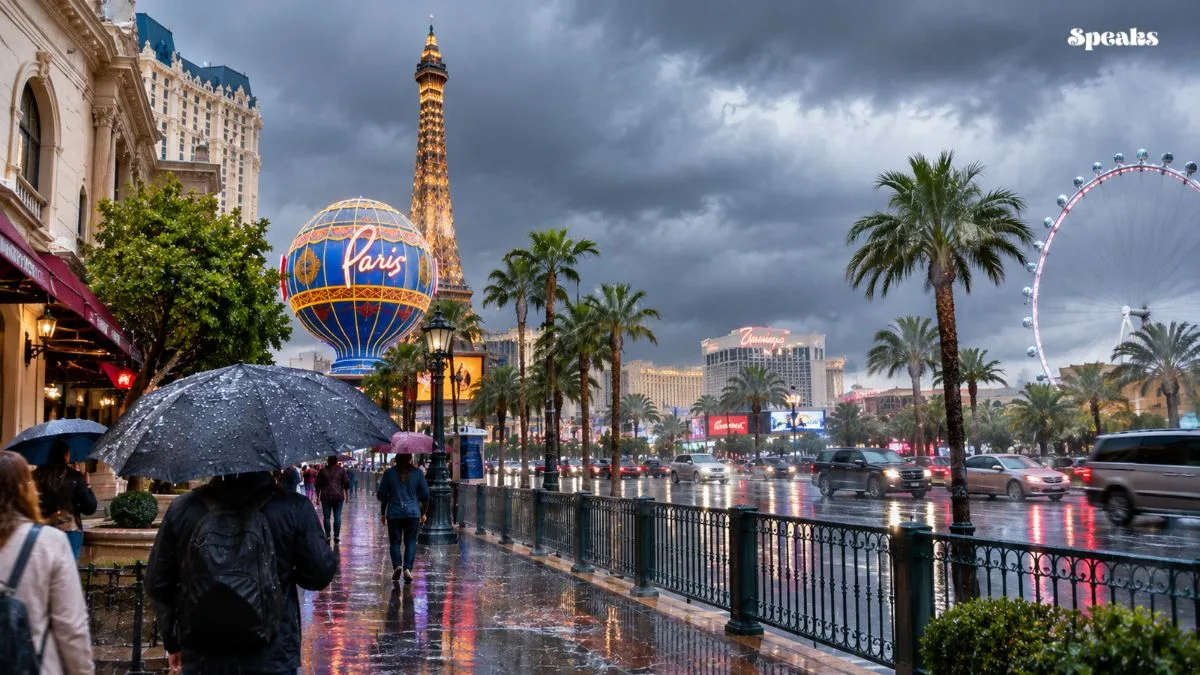
Las Vegas is heading into a cooler and unsettled stretch of weather, with scattered showers, gusty winds and a second storm system expected to affect Southern Nevada during the week of November 16. Temperatures are also forecast to drop, bringing a noticeable change from the region’s recent mild conditions.
According to FOX5 Las Vegas, a cold front moving into the area is expected to increase rain chances from Monday afternoon through Tuesday. Another weather system could bring additional showers on Thursday, along with the possibility of snow at higher elevations near Mount Charleston.
The National Weather Service (NWS) has also highlighted the arrival of cooler conditions, periods of precipitation and strong winds across parts of the Las Vegas forecast area.
Las Vegas Weather Forecast: Rain Chances Increase Monday and Tuesday
The first weather system is expected to bring scattered showers to the Las Vegas Valley beginning Monday, November 16. Rain chances are forecast to increase late Monday night and continue into the early hours of Tuesday.
FOX5’s forecast placed Monday’s high temperature near 68 degrees Fahrenheit, followed by a cooler high of around 62 degrees on Tuesday. Cloud cover, rain and the arrival of colder air are expected to contribute to the temperature drop.
Showers should gradually become less widespread on Tuesday as the weather system moves east. However, residents may still experience breezy conditions, particularly during the morning and afternoon.
The National Weather Service has forecast strong southwest to west winds across the region, with some gusts potentially reaching 35 to 45 mph. These conditions could affect outdoor activities and create difficult driving conditions in exposed areas.
Second Storm System Could Bring More Rain on Thursday
The weather pattern is not expected to settle immediately after Tuesday’s showers. A brief break is forecast before another storm system approaches Southern Nevada around the middle of the week.
FOX5 expects Wednesday to bring a temporary improvement, with a forecast high near 62 degrees. However, clouds and rain chances are expected to increase again as the next system moves closer.
Thursday, November 19, could bring another round of showers across the Las Vegas Valley. FOX5’s forecast places the day’s high near 57 degrees, making it one of the cooler days of the week.
The National Weather Service has also indicated a significant chance of rain showers in the valley on Thursday. Its forecast issued Monday afternoon showed a 70% chance of showers, although exact timing and rainfall amounts may change as the system develops.
Mount Charleston Could See Up to 4 Inches of Snow
While Las Vegas is expected to experience mainly rain, higher elevations in Southern Nevada could see winter weather.
Mount Charleston is among the areas being monitored as colder air moves into the region. FOX5 reported that the midweek system could bring up to 4 inches of snow to the mountain area.
The National Weather Service has also identified the possibility of lighter snow accumulations at higher elevations in Southern Nevada. Its forecast discussion indicated that around 4 inches could fall near Mount Charleston, depending on how the system develops.
Conditions at higher elevations are expected to be considerably colder than in the Las Vegas Valley. Anyone planning to visit Mount Charleston should check the latest road and weather conditions before travelling.
Las Vegas Temperature Forecast
The unsettled weather is expected to gradually move away toward the end of the week. Lingering showers could continue into early Friday, but drier conditions are forecast to return as high pressure builds over the region.
FOX5’s outlook places Friday’s high near 59 degrees, followed by approximately 57 degrees on Saturday and 58 degrees on Sunday.
Although rainfall chances are expected to decrease, temperatures are likely to remain cooler than the recent mild conditions. Residents should also expect chilly mornings and evenings.
The return of drier weather could provide better conditions for outdoor plans over the weekend, although temperatures are not expected to rise significantly during this period.
What the Changing Weather Means for Las Vegas Residents
The combination of rain, cooler temperatures and gusty winds could affect everyday activities across the Las Vegas area.
Drivers should remain alert during periods of rain, particularly on roads where water can collect or visibility may decrease. Strong wind gusts can also make driving more challenging, especially for high-profile vehicles.
People planning outdoor activities may want to keep an eye on changing forecasts throughout the week. Those travelling toward Mount Charleston should pay particular attention to possible snow and colder conditions at higher elevations.
Visitors arriving in Las Vegas should also prepare for cooler evenings rather than relying on the warmer daytime conditions often associated with Southern Nevada.
Weather forecasts can change as storm systems move across the region. The National Weather Service and local weather officials may issue updated information on rainfall, wind speeds and mountain snow potential.